Hugo Fischer · 25 October 2026
Bear Movement Tracking Leads to Revised Safety Measures in Lodgeridge
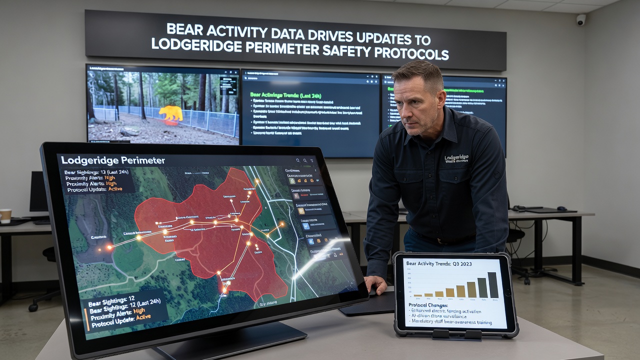
Monitoring systems deployed around Lodgeridge captured detailed movement patterns of local black bear populations throughout the fall season, and authorities responded by adjusting perimeter safety protocols to reduce potential conflicts with residents and visitors. Data collected from trail cameras, GPS collars, and community reports showed increased bear activity near developed boundaries during October 2026, prompting targeted updates that focus on physical barriers, signage, and public education efforts.
Researchers from regional wildlife agencies compiled the figures and identified specific zones where bears approached within 50 meters of residential edges more frequently than in previous years. These observations led to the installation of reinforced fencing segments and motion-activated lighting at key access points, while existing trails received additional bear-proof trash receptacles to limit attractants. Officials coordinated with property owners to ensure consistent compliance across the perimeter without disrupting daily community activities.
Data Collection Methods and Key Findings
Wildlife specialists combined automated sensors with field surveys to track bear movements across multiple corridors, and the resulting dataset revealed seasonal peaks tied to food availability in nearby forests. Figures indicate that activity levels rose notably after mid-September, coinciding with berry crop cycles and preparation for hibernation, which pushed some animals closer to human settlements in search of additional resources. According to information shared by the U.S. Fish and Wildlife Service, similar patterns have appeared in other western regions when natural forage varies year to year.
Community members contributed sighting logs through a dedicated reporting app, and these entries helped validate sensor readings while highlighting times of day when encounters occurred most often. Morning and evening hours showed the highest frequency, leading planners to recommend adjusted trail hours and temporary closures in high-risk sections during peak periods. The combined evidence guided decisions on where to prioritize new safety features rather than applying uniform changes across the entire boundary.
Protocol Updates Implemented
Updated guidelines now require regular maintenance checks on all perimeter fencing, with emphasis on gaps that could allow passage for medium-sized mammals. Educational materials distributed to households outline proper storage of outdoor food items and pet food, while signs posted at trailheads remind users to maintain safe distances and carry bear spray in designated areas. These measures build on earlier practices yet incorporate real-time data to address current movement trends more precisely.
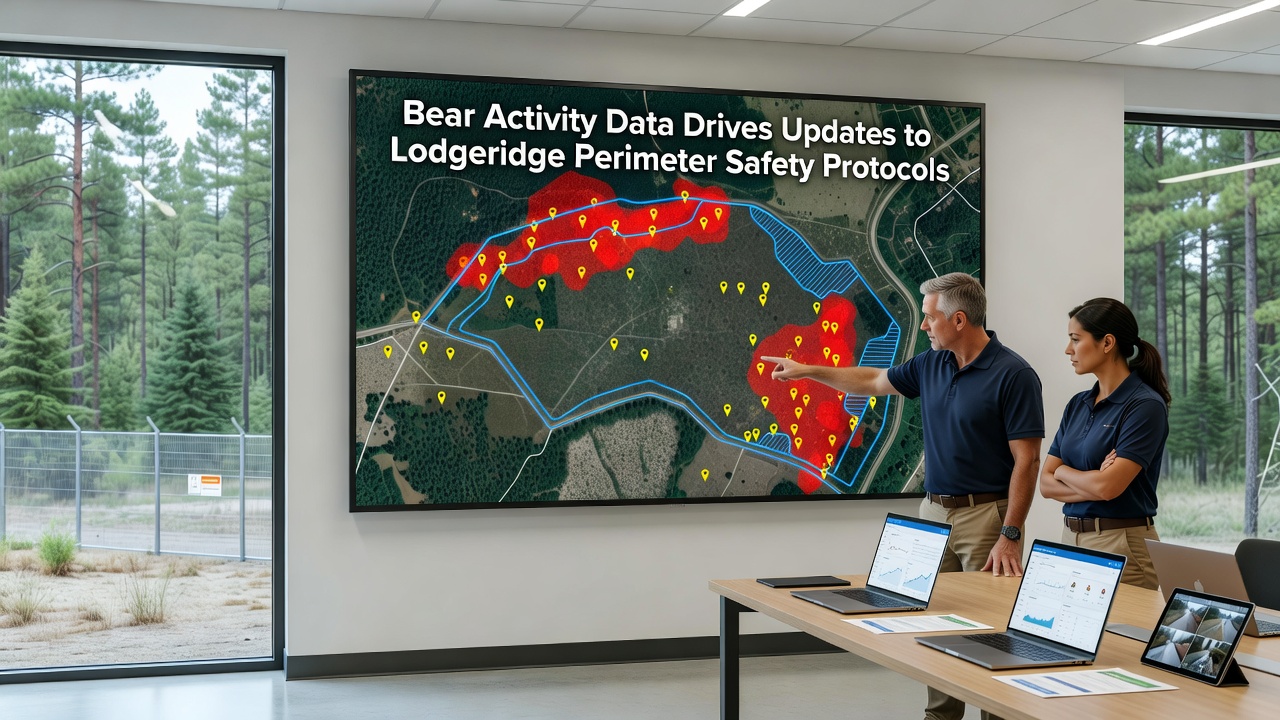
Training sessions for local responders and park staff covered updated response procedures, including non-lethal deterrents and coordination protocols with state agencies. One study from the University of Montana wildlife research program examined comparable perimeter adjustments in similar mountain communities and found measurable reductions in property incidents when data-driven fencing and education were combined. Lodgeridge officials referenced those outcomes when finalizing their own rollout timeline, which began in late October 2026 and continues through the winter season.
Community Involvement and Ongoing Monitoring
Public meetings allowed residents to review mapped activity zones and provide input on proposed changes, and feedback shaped minor adjustments such as the placement of additional lighting near specific neighborhoods. Volunteers assist with monthly sensor data downloads and visual inspections, which keeps the monitoring network active without requiring full-time staff increases. This collaborative approach ensures that updates remain responsive to new information as bear patterns evolve with weather and food conditions.
Longer-term plans include seasonal reviews of the collected data to determine whether further refinements are needed before the next active period. Partnerships with neighboring land managers help align efforts across larger habitat areas, reducing isolated measures that might simply shift activity rather than address root attractants. The process demonstrates how localized tracking can inform practical safety enhancements while supporting broader wildlife coexistence strategies.
Conclusion
Integration of bear activity data into Lodgeridge perimeter management continues to evolve as new readings arrive each season, and the current updates reflect a measured response to documented patterns observed through October 2026. Continued monitoring and community participation support the maintenance of these protocols, providing a framework that adapts based on evidence rather than fixed assumptions.