Logan Flores · 11 October 2026
Behind the Scenes of Lodgeridge's Peak Paths: How Trail Upkeep Shapes Local Wildlife Corridors
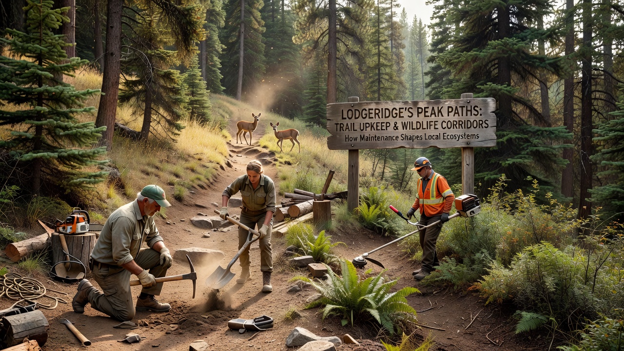
Trail upkeep in Lodgeridge's Peak Paths involves systematic clearing of debris, erosion control measures, and vegetation management that directly influence how animals move through connected habitats. Crews follow established protocols each season, and these activities determine whether corridors remain open or become fragmented over time. Data from regional monitoring programs shows that consistent maintenance prevents overgrowth from blocking established routes used by deer, foxes, and smaller mammals.
Core Maintenance Techniques Applied Along Peak Paths
Workers remove fallen branches and stabilize soil with native plantings while they mark boundaries to limit human deviation from designated routes. These steps reduce soil compaction that otherwise narrows pathways animals rely on for seasonal migration. Equipment operators work during daylight hours to minimize disturbance, and records indicate that timed interventions in early spring and late fall align with lower wildlife activity periods.
Drainage improvements form another key component, since standing water can force animals to detour around flooded sections and increase encounters with roads. Gravel reinforcement along steep grades keeps surfaces intact, and studies conducted by Parks Canada demonstrate that such reinforcements sustain corridor width in similar mountainous regions across western provinces.
Effects on Animal Movement Patterns
Wildlife corridors function as linear habitats that link larger protected areas, allowing gene flow between populations separated by elevation changes. When trail crews prune encroaching shrubs and repair washouts promptly, the resulting clearings maintain connectivity for species that avoid dense understory. Monitoring cameras placed along Peak Paths captured increased usage by bobcats and coyotes during periods of regular upkeep compared with sections left unattended for multiple seasons.
Conversely, accumulated leaf litter and root exposure can create barriers that concentrate traffic into narrower bands, raising collision risks near access points. Figures released by the European Environment Agency in 2025 revealed similar patterns in alpine trail networks where delayed maintenance correlated with measurable declines in corridor permeability for mustelids and ungulates.
Seasonal Timing and October 2026 Operations
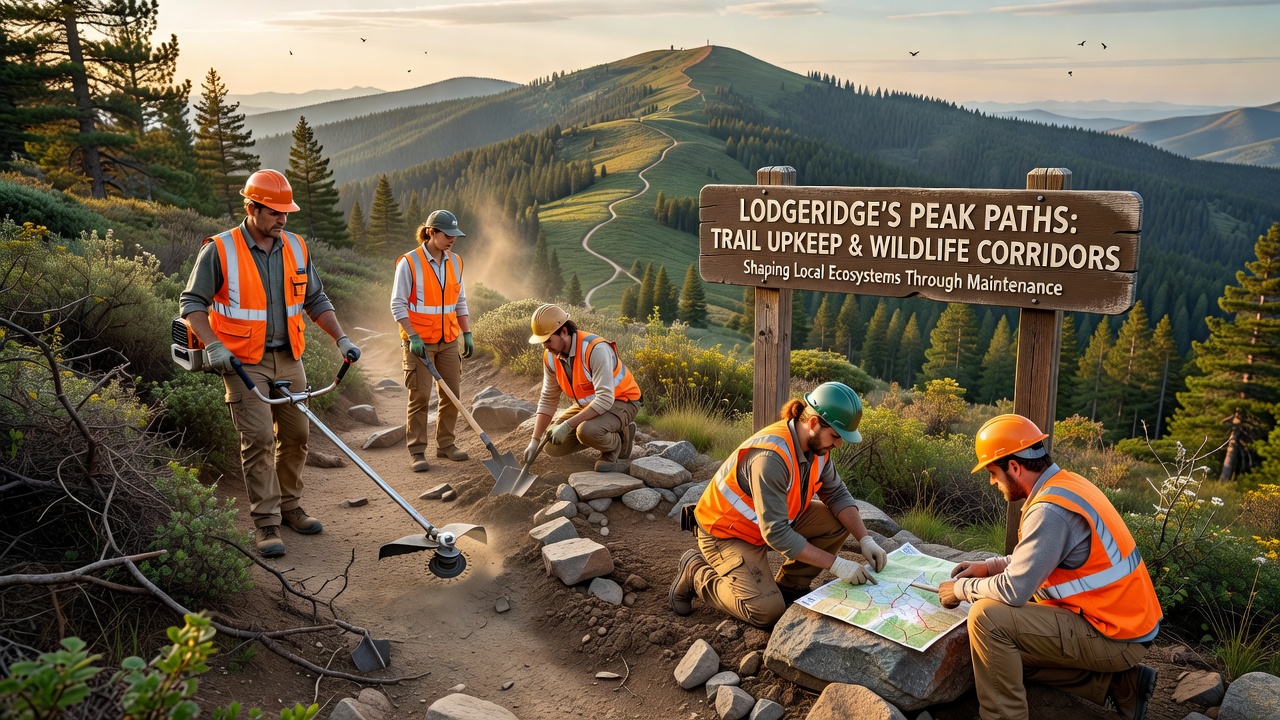
October 2026 marks the start of pre-winter inspections along Peak Paths, when crews assess leaf fall impacts and install temporary barriers around sensitive nesting zones. These inspections coincide with reduced visitor numbers, allowing teams to focus on reinforcing culverts that channel runoff away from core movement routes. Records kept by local conservation districts show that October work windows reduce overlap with breeding cycles for several bird species that use the same corridors.
Vegetation surveys conducted during this period guide decisions about which native grasses to replant, and the resulting ground cover stabilizes banks while providing cover for small mammals crossing open sections. Coordination with regional forestry offices ensures that chemical-free weed control methods remain in use, preserving soil chemistry that supports the food sources animals depend on within corridors.
Monitoring Data and Corridor Connectivity Metrics
Researchers deploy motion-triggered cameras and GPS collars to track passage rates before and after maintenance cycles, generating datasets that quantify how trail width and surface type affect crossing frequency. Results indicate that corridors maintained to a minimum four-meter width sustain higher throughput for larger mammals than narrower, eroded segments. Collaboration with university ecology departments supplies statistical models that predict corridor viability under varying upkeep frequencies.
These models incorporate variables such as slope angle, vegetation density, and proximity to human infrastructure, and they help planners prioritize segments where intervention yields the largest connectivity gains. Annual reports compiled from these efforts provide baseline measurements against which future changes can be compared.
Conclusion
Trail upkeep along Lodgeridge's Peak Paths operates as an active management tool that preserves and enhances wildlife corridor function through targeted interventions. Consistent application of erosion control, vegetation management, and seasonal timing supports animal movement patterns documented across monitoring programs. Ongoing data collection from multiple sources continues to refine practices that balance recreational access with habitat connectivity requirements in the region.